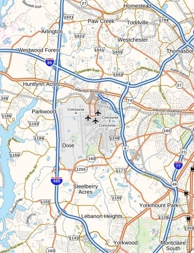
Charlotte Douglas International Airport Terminal Map
This is a zoomable map of the Charlotte Douglas International Airport showing the location of shops and restaurants at the airport.
Airport Code: CLT
State: North Carolina
Latitude: 35.2144°
Longitude: -80.9473°
Maps of Other North Carolina Airports
- North Carolina Airports Map
- Asheville Regional Airport Map
- Fayetteville Regional Airport Map
- Piedmont Triad International Airport Map
- Pitt Greenville Airport Map
- Albert J. Ellis Airport Map
- Coastal Carolina Regional Airport Map
- Raleigh Durham International Airport Map
- Wilmington International Airport Map

