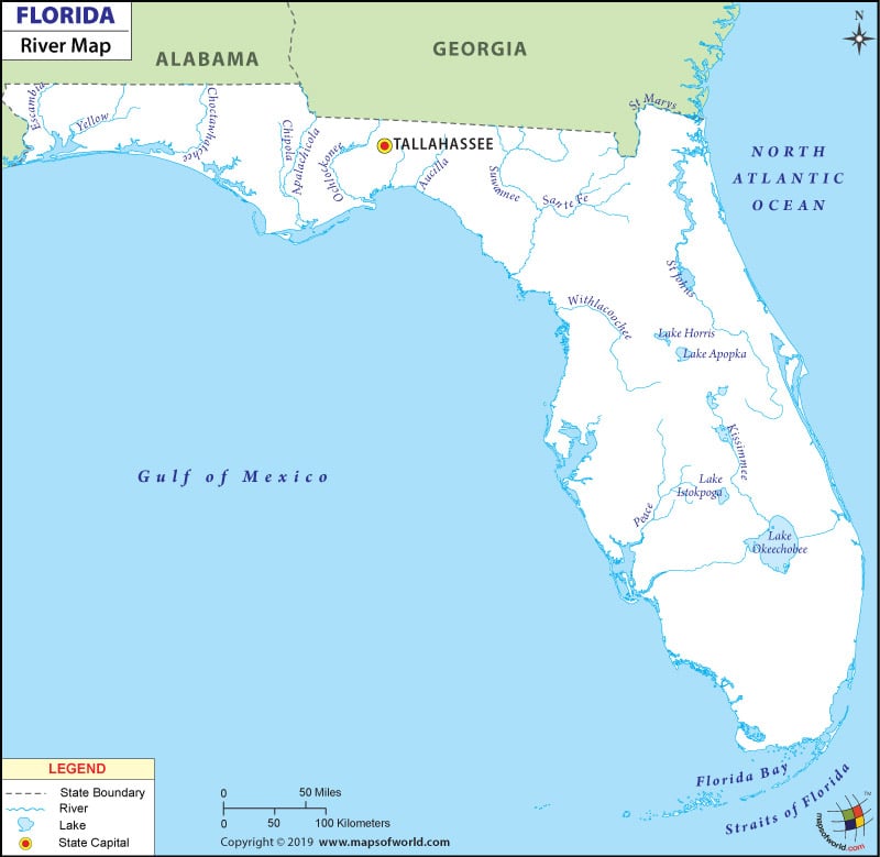
Florida is a peninsula, which is covered by a number of water bodies. The total length of waterways in the state is more than 11,000 miles. See Florida rivers map to know the location and names of the various rivers in the state.
Central Florida is the place where a number of water bodies including rivers, swamps and streams etc are located.
Many of the rivers and water bodies in Florida are named after animals, trees, colors, state cities etc. There are two rivers in Florida which have the same name i.e., River Withlacoochee.
Rivers in Florida
The major river in Central Florida is St. Johns River. This river flows north from India River County to Duval County, map of Florida Rivers shows this. Florida’s state song ‘Old Folks at Home’ is based on the Suwannee River. The longest river sailboat race in the world is held in Florida; it covers 42 miles from Palatka to Jacksonville along with the St. Johns River. Refer to a river map of Florida, to find out the exact route of the race.
Rivers in Florida are located all over the state. Some of the major ones are listed here:
- Chicola River
- St. Lucie River
- St. Johns River
- Suwannee River
- Escambia River
- Kissimmee River
- Eau Gallie River
- St. Marys River
- Ocklawaha River
- Little Trout River
- Loxahatchee River
 Wall Maps