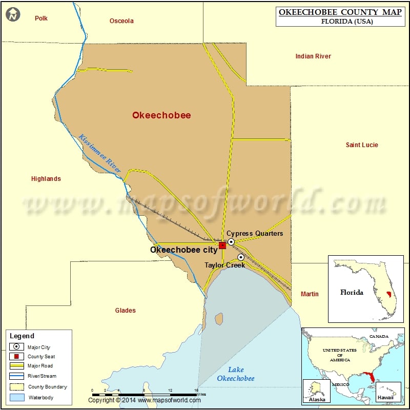
Check this Florida County Map to locate all the state’s counties in Florida Map.
Airports in Okeechobee County
| Airport Name |
|---|
| Baggett Airpark |
| Dove Heliport |
| Golden Land Ranch Airport |
| Hca Raulerson Hospital Heliport |
| Indian Hammock Airport |
| Lake Montaza Airport |
| Okeechobee County Airport |
| Paxton Airport |
| Recreation Corporation Airport |
| River Acres Airport |
| River Oak Airport |
| Sunniland Ranch Airport |
| Sunset Strip Airpark |
Cities in Okeechobee County
| City | Population | Latitude | Longitude |
|---|---|---|---|
| Cypress Quarters | 1215 | 27.247873 | -80.811369 |
| Okeechobee city | 5621 | 27.241183 | -80.829827 |
| Taylor Creek | 4348 | 27.217299 | -80.789064 |
Golf Courses in Okeechobee County
| Name of Golf Course | Latitude | Longitude |
|---|---|---|
| Blue Cypress Golf & RV Resort-Okeechobee | 27.131545 | -80.685063 |
| KOA Campground & Golf Resort-Okeechobee | 27.20589 | -80.829584 |
| Okeechobee Golf & Country Club-Okeechobee | 27.365022 | -80.823272 |
 Wall Maps