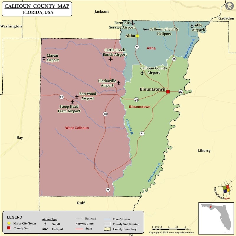
Check this Florida County Map to locate all the state’s counties in Florida Map.
Airports in Calhoun County
| Airport Name |
|---|
| Able Airpark |
| Calhoun County Airport |
| Calhoun Sheriff’s Heliport |
| Cattle Creek Ranch Airport |
| Clarksville Airport |
| Farm Air Service Airport |
| Maran Airport |
| Ron Wood Airport |
| Steep Head Farm Airport |
More Maps of Calhoun County
- Calhoun County Map, South Carolina
- Calhoun County Map, Alabama
- Calhoun County Map, Texas
- Calhoun County Map, Georgia
Cities in Calhoun County
| City | Population | Latitude | Longitude |
|---|---|---|---|
| Altha town | 536 | 30.572065 | -85.126998 |
| Blountstown city | 2514 | 30.443012 | -85.045364 |

 Wall Maps