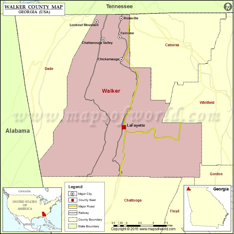
Check this Georgia County Map to locate all the state’s counties in Georgia Map.
Mountain Peaks in Walker County
| Mountain Peak/Hill | Elevation [Meter] |
|---|---|
| Gulf Mountain | 657 |
| Horn Mountain | 405 |
| Mill Creek Mountain | 546 |
| Pigeon Mountain | 564 |
| Round Top | 641 |
| Snodgrass Hill | 274 |
| Strawberry Mountain | 419 |
More Maps of Walker County
Airports in Walker County
| Airport Name |
|---|
| Barwick Lafayette Airport |
| Gibson Field |
| Hogjowl Airport |
| Mount Cove STOLport |
Cities in Walker County
| City | Population | Latitude | Longitude |
|---|---|---|---|
| Chattanooga Valley | 3846 | 34.924092 | -85.343244 |
| Chickamauga city | 3101 | 34.874401 | -85.289007 |
| Fairview | 6769 | 34.92957 | -85.294086 |
| LaFayette city | 7121 | 34.708657 | -85.281527 |
| Lookout Mountain city | 1602 | 34.966413 | -85.362193 |
| Rossville city | 4105 | 34.974747 | -85.289748 |
Golf Courses in Walker County
| Name of Golf Course | Latitude | Longitude |
|---|---|---|
| Canyon Ridge Golf Club-Rising Fawn | 34.749157 | -85.451892 |
| High Point Golf Course-Chickamauga | 34.866797 | -85.361363 |
| Lafayette Golf Course-La Fayette | 34.694453 | -85.278884 |
| Lookout Mountain Golf Club-Lookout Mountain | 34.961573 | -85.35501 |
National Parks in Walker County
| Name of Park | Latitude | Longitude |
|---|---|---|
| Chickamauga and Chattanooga NMP | 35.001636 | -85.352766 |
| Chickamauga and Chattanooga NMP | 34.982386 | -85.343882 |
| Chickamauga and Chattanooga NMP | 34.975216 | -85.346128 |
| Chickamauga and Chattanooga NMP | 34.919114 | -85.254459 |
 Wall Maps