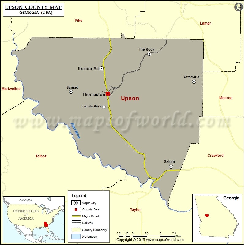
Check this Georgia County Map to locate all the state’s counties in Georgia Map.
Mountain Peaks in Upson County
| Mountain Peak/Hill | Elevation [Meter] |
|---|---|
| Brooks Mountain | 334 |
| Bull Trail Mountain | 358 |
| Davis Hill | 184 |
| Dorster Mountain | 389 |
| Goat Mountain | 287 |
| Green Hill | 318 |
| Kings Mountain | 298 |
| McGraw Mountain | 334 |
| Mose Mountain | 299 |
| Pine Mountain | 365 |
| Salter Mountain | 368 |
| Snipes Grave Rock | 179 |
| Spring Mountain | 358 |
| Ten Acre Rock | 190 |
| The Top | 350 |
| Van Houten Mountain | 318 |
Airports in Upson County
| Airport Name |
|---|
| Seagraves Airport |
| Thistle Field |
Cities in Upson County
| City | Population | Latitude | Longitude |
|---|---|---|---|
| Hannahs Mill | 3298 | 32.936947 | -84.340567 |
| Lincoln Park | 833 | 32.867418 | -84.334859 |
| Salem | 310 | 32.759186 | -84.19161 |
| Sunset Village | 846 | 32.894658 | -84.40574 |
| The Rock | 160 | 32.963518 | -84.23781 |
| Thomaston city | 9170 | 32.890804 | -84.32713 |
| Yatesville town | 357 | 32.913325 | -84.142328 |
Golf Courses in Upson County
| Name of Golf Course | Latitude | Longitude |
|---|---|---|
| Hickory Ridge Golf Club-Meansville | 32.986458 | -84.347774 |
| Raintree Country Club-Thomaston | 32.864635 | -84.320279 |
 Wall Maps