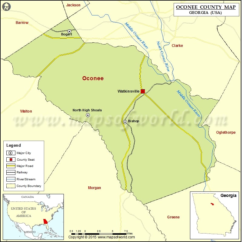
Check this Georgia County Map to locate all the state’s counties in Georgia Map.
Mountain Peaks in Oconee County
| Mountain Peak/Hill | Elevation [Meter] |
|---|---|
| Coon Mountain | 195 |
More Maps of Oconee County
Cities in Oconee County
| City | Population | Latitude | Longitude |
|---|---|---|---|
| Bishop town | 224 | 33.817142 | -83.437172 |
| Bogart town | 1034 | 33.947375 | -83.533465 |
| North High Shoals town | 652 | 33.827342 | -83.501541 |
| Watkinsville city | 2832 | 33.861212 | -83.407306 |
Golf Courses in Oconee County
| Name of Golf Course | Latitude | Longitude |
|---|---|---|
| Jennings Mill Country Club-Bogart | 33.924111 | -83.466152 |
| Lane Creek Golf Course-Bishop | 33.842851 | -83.53209 |
 Wall Maps