888
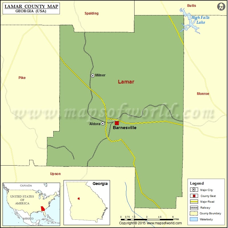
Check this Georgia County Map to locate all the state’s counties in Georgia Map.
Mountain Peaks in Lamar County
| Mountain Peak/Hill | Elevation [Meter] |
|---|---|
| Hog Mountain | 311 |
| Pine Mountain | 293 |
More Maps of Lamar County
Airports in Lamar County
| Airport Name |
|---|
| Antique Acres Airport |
| De De Airport |
| Flying H Ranch Inc Airport |
| Little Tobesofkee Creek Ranch Airport |
| Toland Airport |
Cities in Lamar County
| City | Population | Latitude | Longitude |
|---|---|---|---|
| Aldora town | 103 | 33.050909 | -84.175985 |
| Barnesville city | 6755 | 33.051053 | -84.152607 |
| Milner city | 610 | 33.11781 | -84.192583 |
Golf Courses in Lamar County
| Name of Golf Course | Latitude | Longitude |
|---|---|---|
| Deer Trail Country Club-Barnesville | 32.984201 | -84.115922 |
| Morgan Dairy Golf Club-Griffin | 33.159615 | -84.172826 |
 Wall Maps