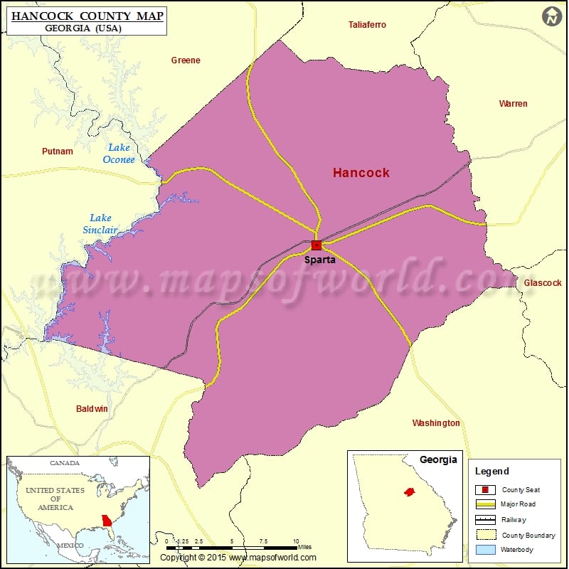
Check this Georgia County Map to locate all the state’s counties in Georgia Map.
Mountain Peaks in Hancock County
| Mountain Peak/Hill | Elevation [Meter] |
|---|---|
| Granite Hill | 159 |
Airports in Hancock County
| Airport Name |
|---|
| Hancock Memorial Hospital Heliport |
Cities in Hancock County
| City | Population | Latitude | Longitude |
|---|---|---|---|
| Sparta city | 1400 | 33.27667 | -82.970551 |
 Wall Maps