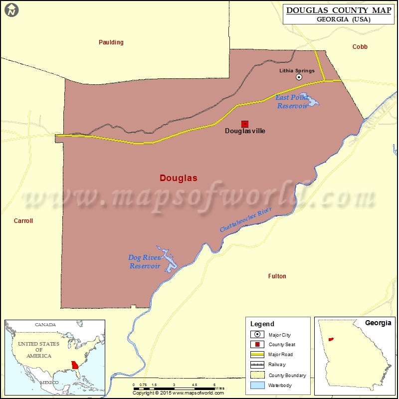
Check this Georgia County Map to locate all the state’s counties in Georgia Map.
Mountain Peaks in Douglas County
| Mountain Peak/Hill | Elevation [Meter] |
|---|---|
| Andy Mountain | 405 |
| Cedar Mountain | 379 |
| Pine Mountain | 352 |
More Maps of Douglas County
- Douglas County Map, Wisconsin
- Douglas County Map, South Dakota
- Douglas County Map, Nebraska
- Douglas County Map, Washington
Airports in Douglas County
| Airport Name |
|---|
| Chattahoochee Air Park |
| Earl L. Small Jr. Field/Stockmar Airport |
| Miller Farm Airport |
| Tanner Medical Center Heliport |
| Wellstar Douglas Hospital Heliport |
| Western Sky Airport |
Cities in Douglas County
| City | Population | Latitude | Longitude |
|---|---|---|---|
| Douglasville city | 30961 | 33.738191 | -84.707078 |
| Lithia Springs | 15491 | 33.781015 | -84.64877 |
Golf Courses in Douglas County
| Name of Golf Course | Latitude | Longitude |
|---|---|---|
| Chapel Hills Golf & Country Club-Douglasville | 33.716483 | -84.72592 |
| Greystone Golf Club-Douglasville | 33.792695 | -84.700829 |
| Mirror Lake Golf Club-Villa Rica | 33.745215 | -84.890679 |
| St. Andrews Golf & Country Club-Winston | 33.580111 | -84.867581 |
| West Pines Golf Club-Douglasville | 33.732014 | -84.753988 |
 Wall Maps