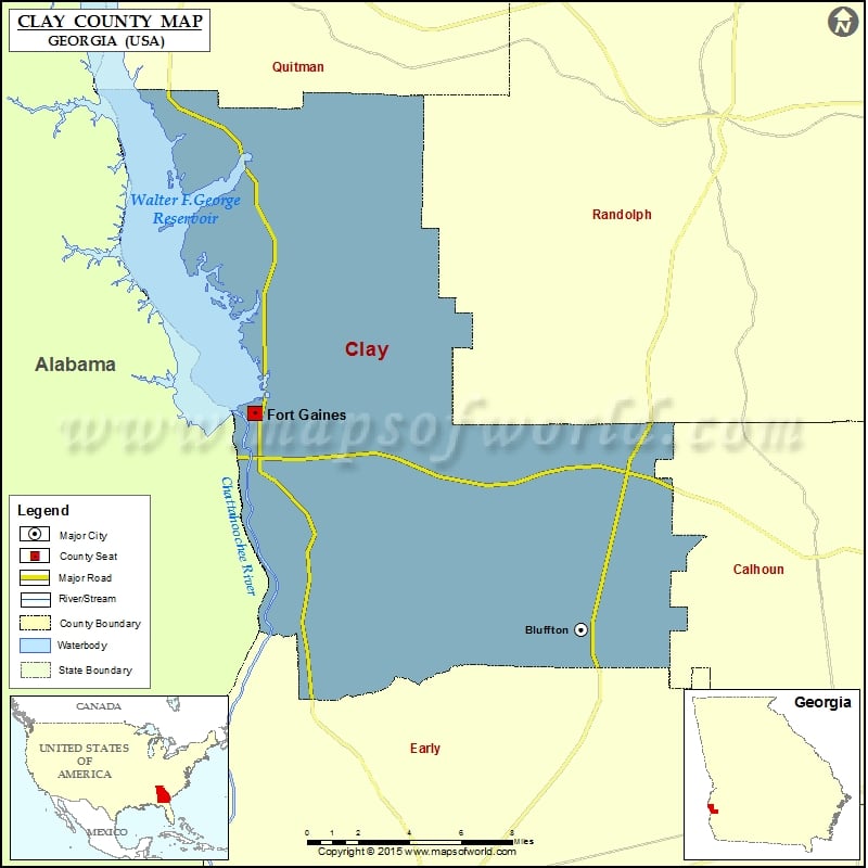
Check this Georgia County Map to locate all the state’s counties in Georgia Map.
Mountain Peaks in Clay County
| Mountain Peak/Hill | Elevation [Meter] |
|---|---|
| Johnny Moore Hill | 141 |
More Maps of Clay County
- Clay County Map, South Dakota
- Clay County Map, Nebraska
- Clay County Map, Alabama
- Clay County Map, Florida
- Clay County Map, North Carolina
- Clay County Map, Texas
- Clay County Map, Tennessee
Airports in Clay County
| Airport Name |
|---|
| Coates Airport |
Cities in Clay County
| City | Population | Latitude | Longitude |
|---|---|---|---|
| Bluffton town | 103 | 31.519818 | -84.869119 |
| Fort Gaines city | 1107 | 31.623912 | -85.052936 |
Golf Courses in Clay County
| Name of Golf Course | Latitude | Longitude |
|---|---|---|
| Meadow Links At George T. Bagby-Fort Gaines | 31.665055 | -85.046995 |
 Wall Maps