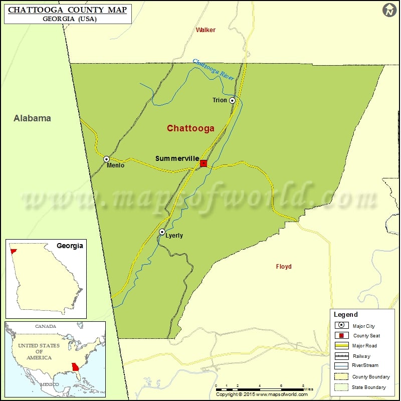
Check this Georgia County Map to locate all the state’s counties in Georgia Map.
Mountain Peaks in Chattooga County
| Mountain Peak/Hill | Elevation [Meter] |
|---|---|
| Bald Mountain | 299 |
| Bogan Mountain | 428 |
| Cedar Point | 473 |
| Dirtseller Mountain | 366 |
| High Point | 468 |
| Kincaid Mountain | 417 |
| Little Sand Mountain | 346 |
| Simms Mountain | 397 |
Airports in Chattooga County
| Airport Name |
|---|
| Wyatt Airport |
Cities in Chattooga County
| City | Population | Latitude | Longitude |
|---|---|---|---|
| Lyerly town | 540 | 34.403432 | -85.404092 |
| Menlo city | 474 | 34.483491 | -85.477611 |
| Summerville city | 4534 | 34.478752 | -85.349071 |
| Trion town | 1827 | 34.547945 | -85.310763 |
Golf Courses in Chattooga County
| Name of Golf Course | Latitude | Longitude |
|---|---|---|
| Trion Golf Club-Trion | 34.560679 | -85.311375 |
 Wall Maps