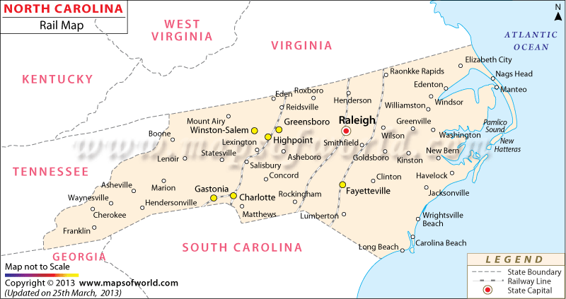
The North Carolina Railway Map offers complete information on the important railroad service providers and major railway stations of the state.
The state is served by 22 prominent railroad organizations that are supervised by the Railway Association of North Carolina. Aberdeen and Rockfish Railroad, Nash County Railroad, Alexander Railroad Company, Yadkin Valley Railroad Company, Caldwell Country Railroad, Thermal Belt Railway, Great Smoky Mountains Railroad, Norfolk Southern Corporation and CSX Transportation, Inc are some of the state’s notable railroad service providers. The North Carolina Department of Transportation Rail Division offers excellent passenger and freight railway services. The map clearly marks the important towns connected by railway tracks.
Charlotte, Greensboro, Aberdeen, Burgaw, Davidson, Fremont, Earl, Hamlet, Johns, Kenly, Lenoir and Marion are few of the notable towns with railway stations. The Railway Association of North Carolina ensures the rail transportation of the state is safe. North Carolina is served by two Class I railroad organizations and twenty short lines that help in comfortable and easy communication. Also known as NCRR, the North Carolina Railroad is constantly involved in many projects that will promote further development of railway services in the state.

 Wall Maps