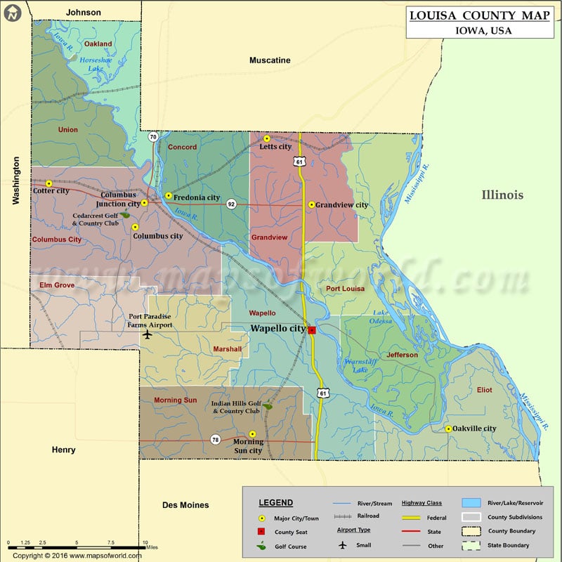
Airports in Louisa County Airport Name Port Paradise Farms Airport Cities in Louisa County City Population Latitude Longitude Columbus City city 391 41.259277 -91.37469 Columbus Junction city 1899 41.278734 -91.36508…
Airports in Louisa County
Airport Name
Port Paradise Farms Airport
Cities in Louisa County
City
Population
Latitude
Longitude
Columbus City city
391
41.259277
-91.37469
Columbus Junction city
1899
41.278734
-91.36508
Cotter city
48
41.293995
-91.465808
Fredonia city
244
41.284514
-91.339385
Grandview city
556
41.277231
-91.188277
Letts city
384
41.329803
-91.23563
Morning Sun city
836
41.094103
-91.250831
Oakville city
173
41.098115
-91.043617
Wapello city
2067
41.177096
-91.188117
Golf Courses in Louisa County
Name of Golf Course
Latitude
Longitude
Cedarcrest Golf & Country Club-Columbus Junction
41.270287
-91.385801
Indian Hills Golf & Country Club-Wapello
41.11766
-91.235129

 Wall Maps