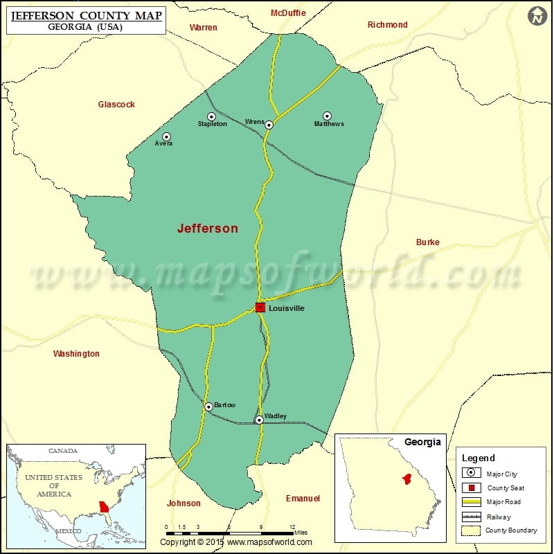
Jefferson County Map, Georgia
Check this Georgia County Map to locate all the state’s counties in Georgia Map. Airports in Jefferson County Airport Name Louisville Municipal Airport Norris Field Wrens Memorial Airport More Maps of Jefferson County…
Check this Georgia County Map to locate all the state’s counties in Georgia Map .
Airports in Jefferson County
Airport Name
Louisville Municipal Airport
Norris Field
Wrens Memorial Airport
More Maps of Jefferson County
Cities in Jefferson County
City
Population
Latitude
Longitude
Avera city
246
33.193423
-82.528732
Bartow town
286
32.881573
-82.471157
Louisville city
2493
32.995538
-82.400015
Matthews
150
33.21755
-82.307891
Stapleton city
438
33.216889
-82.46724
Wadley city
2061
32.86632
-82.401372
Wrens city
2187
33.207005
-82.387817
Golf Courses in Jefferson County
Name of Golf Course
Latitude
Longitude
Brushy Creek Country Club-Wrens
33.21704
-82.422232
Ogeechee Valley Country Club-Louisville
33.025153
-82.399244

 Wall Maps