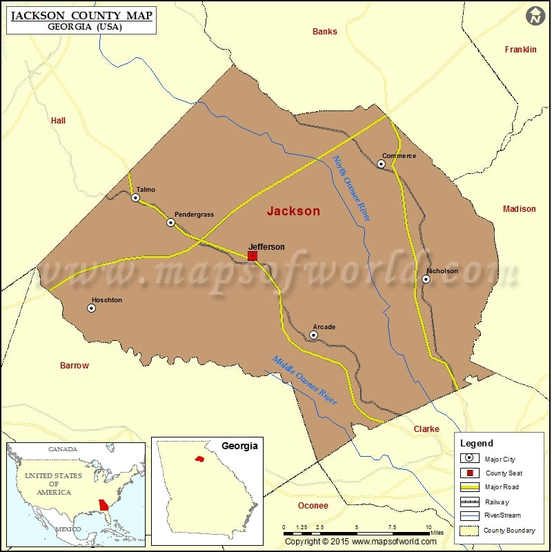
Jackson County Map, Georgia
Check this Georgia County Map to locate all the state’s counties in Georgia Map. Airports in Jackson County Airport Name Cullman Medical Center Heliport Doug Bolton Field Jackson County Airport More Maps of…
Check this Georgia County Map to locate all the state’s counties in Georgia Map .
Airports in Jackson County
Airport Name
Cullman Medical Center Heliport
Doug Bolton Field
Jackson County Airport
More Maps of Jackson County
Cities in Jackson County
City
Population
Latitude
Longitude
Arcade City
1786
34.071094
-83.540328
Commerce city
6544
34.212969
-83.47314
Hoschton city
1377
34.093383
-83.76168
Jefferson City
9432
34.136424
-83.601761
Nicholson City
1696
34.117372
-83.429104
Pendergrass town
422
34.164536
-83.682584
Talmo town
180
34.184891
-83.717833
Golf Courses in Jackson County
Name of Golf Course
Latitude
Longitude
Deer Trail Country Club-Commerce
34.190687
-83.471729
Eagle Greens At Sandy Creek-Commerce
34.18565
-83.395431
Traditions of Braselton Golf Club-Jefferson
34.097503
-83.696005

 Wall Maps