
 Wall Maps
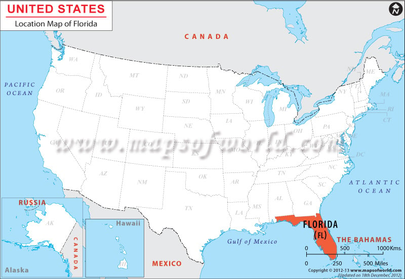
The geographic coordinates of Florida are Latitude 24°30’N to 31°N and Longitude 79°48’W to 87°38’W. The state has a total area of 65,758 sq miles (170,312 sq km) of which land area 53,625 sq miles (138,887 sq km) and inland water area is 12,133 sq miles (31,424 sq km). In the north Florida is bounded by Alabama and Georgia, towards the east it is surrounded by Atlantic Ocean, on the south by Straits of Florida and on the west by Alabama and Gulf of Mexico.
Facts About Florida |
|---|
| State Name | Florida |
|---|---|
| Country | USA |
| Continent | North America |
| Capital | Tallahassee |
| Largest city | Jacksonville |
| Area | 65,755 sq mi (170,304 km2) |
| Population | 19,893,297 (2014 est) |
| Lat Long | 28° 6′ 0″ N, 81° 36′ 0″ W |
| Official Language | English |
| Calling Code | 00 1 850 X |
| Time Zone | Central Time Zone (UTC-06:00), Eastern Time Zone (UTC-05:00), UTC−05:00 |
| Airport | 20- Airports Scheduled service |
| Neighbour State | Alabama, Georgia, The Bahamas |
| Internet TLD | |
| Currency | United States dollar (USD) |