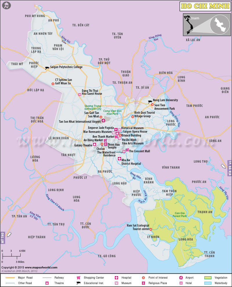
The political, historical, commercial, and cultural significance of Ho Chi Minh City in Vietnam makes it the most important city in the country. The dynamic character of Ho Chi Minh City is reflected in the ever-changing face of the city. Multi-faceted, Ho Chi Minh City was previously called Saigon, a name that brings to mind fuming pictures of the destructive Vietnam War.
The largest city of Vietnam and the country’s commercial capital, Ho Chi Minh City, is the seat of a flourishing economy and a variety of industries. The city of Ho Chi Minh covers an area of 2,356 square kilometers. Today, approximately 6,063,000 people live in Ho Chi Minh City. The dry season is from December to April, a time when the city is full of tourists.
Within the setup of a metropolis lie the charm of the traditional Vietnamese culture and the beauty of ancient history. The people of Ho Chi Minh City are proud of their age-old culture, traditions, and customs. In January they celebrate the colorful festival called Tet Festival.
Ho Chi Minh is a vibrant city throbbing with life. It still preserves its political significance and ancient culture. Characterized by shops, markets, and jostling streets, Ho Chi Minh is becoming more and more alive with each passing day.
