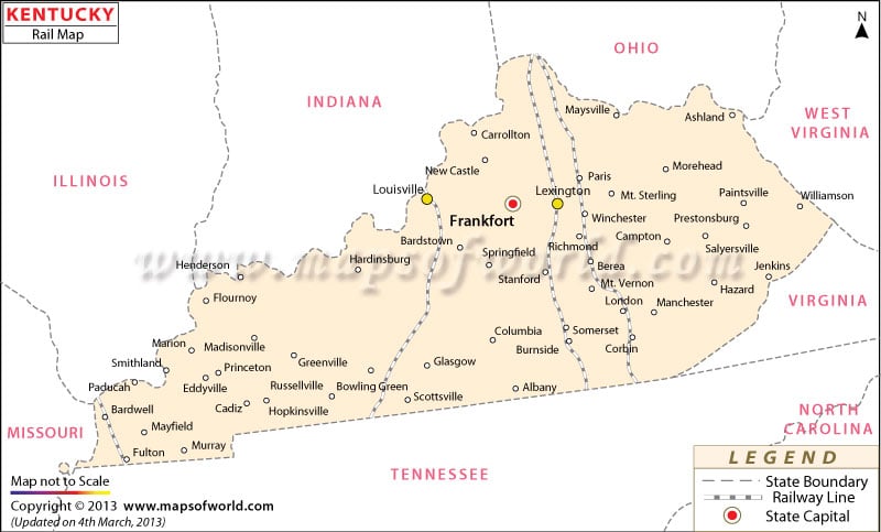
Kentucky Railroad Map,USA
Kentucky Railroad Map is showing the 1,840 miles of railway tracks of Kentucky which offers connectivity to the towns, cities, and counties of the state. The Kentucky Railroad Map is an informative guide which locates the important train routes of the state.
In the year 1832, Ohio and Lexington cities of Kentucky were linked through the first ever railroad of Kentucky. Nashville and Louisville railroad of Kentucky provided linkage to Tennessee, Nashville, and Louisville in the year 1859. Class I tracks of Kentucky railways constitute the major portion of rail travel.
Kentucky Amtrak Stations map is one of the most well known railway service providers of Kentucky, the Amtrak-Cardinal and Amtrak-Kentucky Cardinal are the two passenger lines that provide trains to the four Amtrak railway stations serving the state of Kentucky. In the year 2000 the five class I railroads of Kentucky offered an efficient railway connection to all the major locations of the state. The other 16 railroads of Kentucky are primarily used as freight carriages.
The Kentucky Maps include a section on the railways, which illustrate the train stations in Kentucky.
 Wall Maps