1.5K
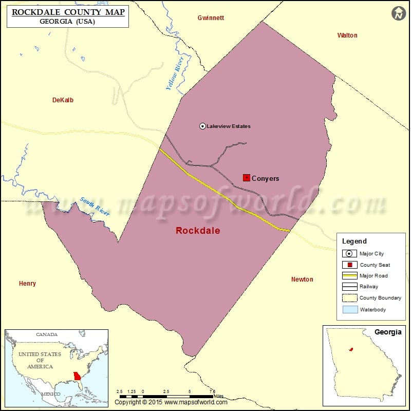
Check this Georgia County Map to locate all the state’s counties in Georgia Map.
Mountain Peaks in Rockdale County
| Mountain Peak/Hill | Elevation [Meter] |
|---|---|
| Griffin Mountain | 251 |
| Panola Mountain | 288 |
Airports in Rockdale County
| Airport Name |
|---|
| Lola Landing Airport |
| National Ems Headquarters Heliport |
| Rockdale Hospital Heliport |
| Skelton Airport |
Cities in Rockdale County
| City | Population | Latitude | Longitude |
|---|---|---|---|
| Conyers city | 15195 | 33.664543 | -83.996713 |
| Lakeview Estates | 2695 | 33.704941 | -84.036808 |
Golf Courses in Rockdale County
| Name of Golf Course | Latitude | Longitude |
|---|---|---|
| Cherokee Run Golf Club-Conyers | 33.674657 | -83.944312 |
| Highland Golf Club-Conyers | 33.630076 | -83.972213 |
| Honey Creek Country Club-Conyers | 33.586977 | -84.025682 |
| Little Mountain Golf Course-Ellenwood | 33.641658 | -84.18348 |
 Wall Maps