1.1K
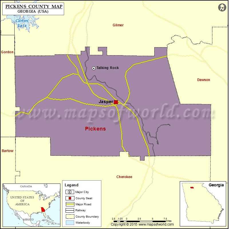
Check this Georgia County Map to locate all the state’s counties in Georgia Map.
Mountain Peaks in Pickens County
| Mountain Peak/Hill | Elevation [Meter] |
|---|---|
| Burnt Mountain | 1002 |
| Cagle Mountain | 583 |
| Cox Mountain | 630 |
| Disharoon Mountain | 694 |
| Fuller Mountain | 397 |
| Gee Mountain | 419 |
| Henderson Mountain | 601 |
| Hendrix Mountain | 831 |
| Little McElory Mountain | 609 |
| Mole Mountain | 669 |
| Mount Oglethorpe | 966 |
| Murphy Top | 378 |
| Oakey Mountain | 514 |
| Pack Mountain | 403 |
| Potts Mountain | 618 |
| Rich Mountain | 659 |
| Sassafras Mountain | 983 |
| Sharp Mountain | 711 |
| Sharptop Mountain | 786 |
| Stripling Mountain | 390 |
| Tally Mountain | 608 |
| Toland Mountain | 725 |
| White Mountain | 399 |
More Maps of Pickens County
Airports in Pickens County
| Airport Name |
|---|
| Big Canoe Heliport |
| Pickens County Airport |
Cities in Pickens County
| City | Population | Latitude | Longitude |
|---|---|---|---|
| Jasper city | 3684 | 34.470646 | -84.44937 |
| Talking Rock town | 64 | 34.527652 | -84.494086 |
Golf Courses in Pickens County
| Name of Golf Course | Latitude | Longitude |
|---|---|---|
| Arrowhead Country Club-Jasper | 34.444997 | -84.404921 |
| Bent Tree Golf Course-Jasper | 34.492361 | -84.364335 |
| Big Canoe Golf Club-Jasper | 34.449863 | -84.286265 |
 Wall Maps