1.2K
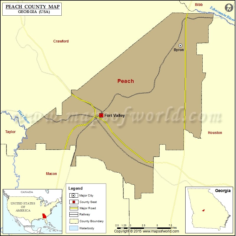
Check this Georgia County Map to locate all the state’s counties in Georgia Map.
Airports in Peach County
| Airport Name |
|---|
| Cameron Field |
| Miami Valley Farm Airport |
| Peachtree Landings Airport |
| Pinal Airpark |
| Smith Field |
| Webb & Shepard Farm Airport |
Cities in Peach County
| City | Population | Latitude | Longitude |
|---|---|---|---|
| Byron city | 4512 | 32.647662 | -83.753883 |
| Fort Valley City | 9815 | 32.552249 | -83.881354 |
Golf Courses in Peach County
| Name of Golf Course | Latitude | Longitude |
|---|---|---|
| Pine Needles Country Club-Fort Valley | 32.596695 | -83.860374 |
 Wall Maps