1.2K
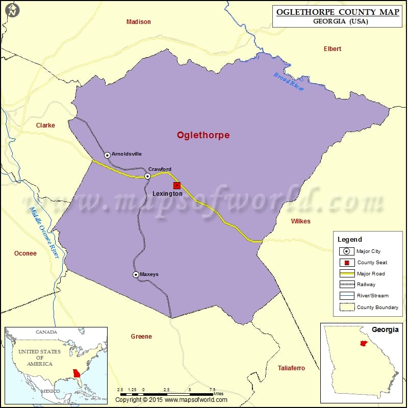
Check this Georgia County Map to locate all the state’s counties in Georgia Map.
Mountain Peaks in Oglethorpe County
| Mountain Peak/Hill | Elevation [Meter] |
|---|---|
| Big Mountain | 234 |
Airports in Oglethorpe County
| Airport Name |
|---|
| Beaver Creek Lodge Heliport |
Cities in Oglethorpe County
| City | Population | Latitude | Longitude |
|---|---|---|---|
| Arnoldsville city | 357 | 33.910329 | -83.218058 |
| Crawford city | 832 | 33.883041 | -83.155189 |
| Lexington city | 228 | 33.870069 | -83.110154 |
| Maxeys town | 224 | 33.755482 | -83.173699 |
 Wall Maps