1.2K
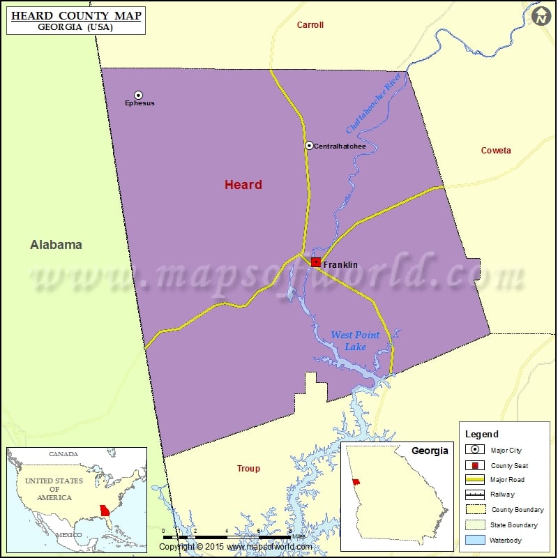
Check this Georgia County Map to locate all the state’s counties in Georgia Map.
Mountain Peaks in Heard County
| Mountain Peak/Hill | Elevation [Meter] |
|---|---|
| Stone Mill Mountain | 303 |
Airports in Heard County
| Airport Name |
|---|
| Answered Prayer Airport |
| Gum Creek Airport |
| Panacea Airport |
| Sunset Strip |
Cities in Heard County
| City | Population | Latitude | Longitude |
|---|---|---|---|
| Centralhatchee town | 408 | 33.368898 | -85.103722 |
| Ephesus city | 427 | 33.40701 | -85.259599 |
| Franklin city | 993 | 33.279235 | -85.097993 |
 Wall Maps