1.4K
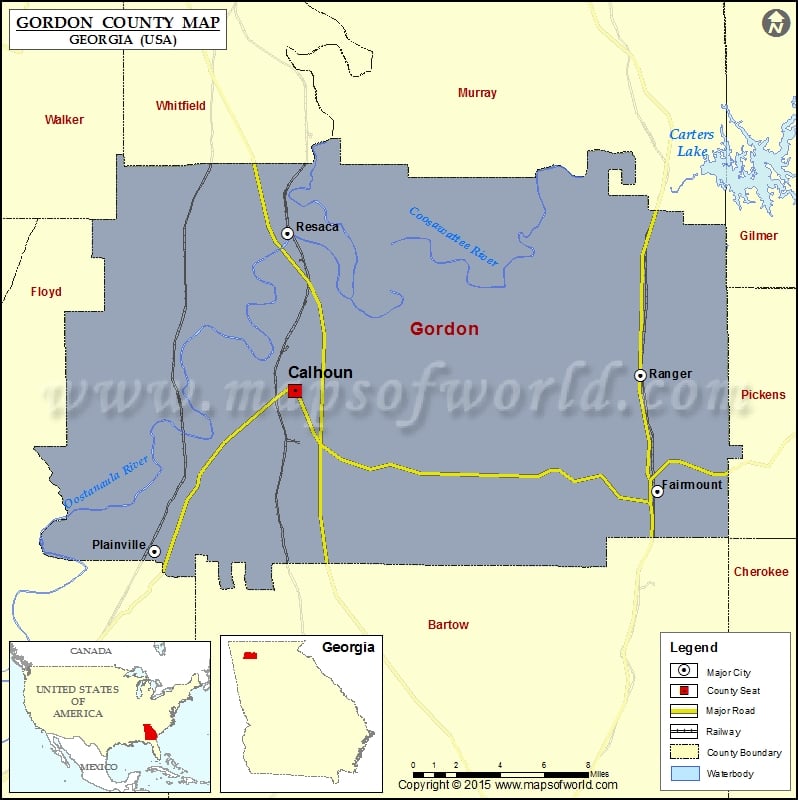
Check this Georgia County Map to locate all the state’s counties in Georgia Map.
Mountain Peaks in Gordon County
| Mountain Peak/Hill | Elevation [Meter] |
|---|---|
| Baugh Mountain | 347 |
| Brogdon Hill | 277 |
| Carter Mountain | 321 |
| Ramseur Mountain | 329 |
Airports in Gordon County
| Airport Name |
|---|
| Curtis Parkway North Heliport |
| Gordon Hospital Heliport |
| Mercer Airfield |
| Riverside Airport |
| Tom B. David Field |
Cities in Gordon County
| City | Population | Latitude | Longitude |
|---|---|---|---|
| Calhoun city | 15650 | 34.492588 | -84.93942 |
| Fairmount city | 720 | 34.437993 | -84.699797 |
| Plainville city | 313 | 34.405265 | -85.031489 |
| Ranger town | 131 | 34.501261 | -84.711067 |
| Resaca town | 544 | 34.578733 | -84.94413 |
Golf Courses in Gordon County
| Name of Golf Course | Latitude | Longitude |
|---|---|---|
| Calhoun Elks Golf Club-Calhoun | 34.543937 | -84.914696 |
| Fields Ferry Golf Club-Calhoun | 34.552559 | -84.844272 |
 Wall Maps