1.2K
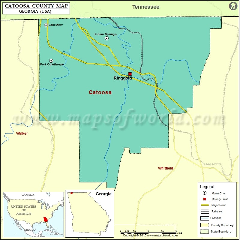
Check this Georgia County Map to locate all the state’s counties in Georgia Map.
Mountain Peaks in Catoosa County
| Mountain Peak/Hill | Elevation [Meter] |
|---|---|
| Beaumont Mountain | 337 |
| Belmont Mountain | 332 |
| Bermuda Hill | 291 |
| Boynton Ridge | 274 |
| Dailey Hill | 254 |
| Happy Top | 280 |
| Sand Mountain | 408 |
| White Oak Mountain | 344 |
| White Oak Mountain | 374 |
Airports in Catoosa County
| Airport Name |
|---|
| Catoosa Springs STOLport |
| Flying G Ranch Airport |
| Wilson Airport |
Cities in Catoosa County
| City | Population | Latitude | Longitude |
|---|---|---|---|
| Fort Oglethorpe city | 9263 | 34.93184 | -85.246029 |
| Indian Springs | 2241 | 34.960544 | -85.159162 |
| Lakeview | 4839 | 34.97768 | -85.253813 |
| Ringgold city | 3580 | 34.914778 | -85.122414 |
Golf Courses in Catoosa County
| Name of Golf Course | Latitude | Longitude |
|---|---|---|
| Battlefield Golf Club Inc-Ringgold | 34.926605 | -85.228668 |
| Council Fire Golf Club-Chattanooga | 34.98653 | -85.172877 |
| Windstone Golf Club-Ringgold | 34.98017 | -85.118029 |
National Parks in Catoosa County
| Name of Park | Latitude | Longitude |
|---|---|---|
| Chickamauga and Chattanooga NMP | 34.919114 | -85.254459 |
 Wall Maps