2.5K
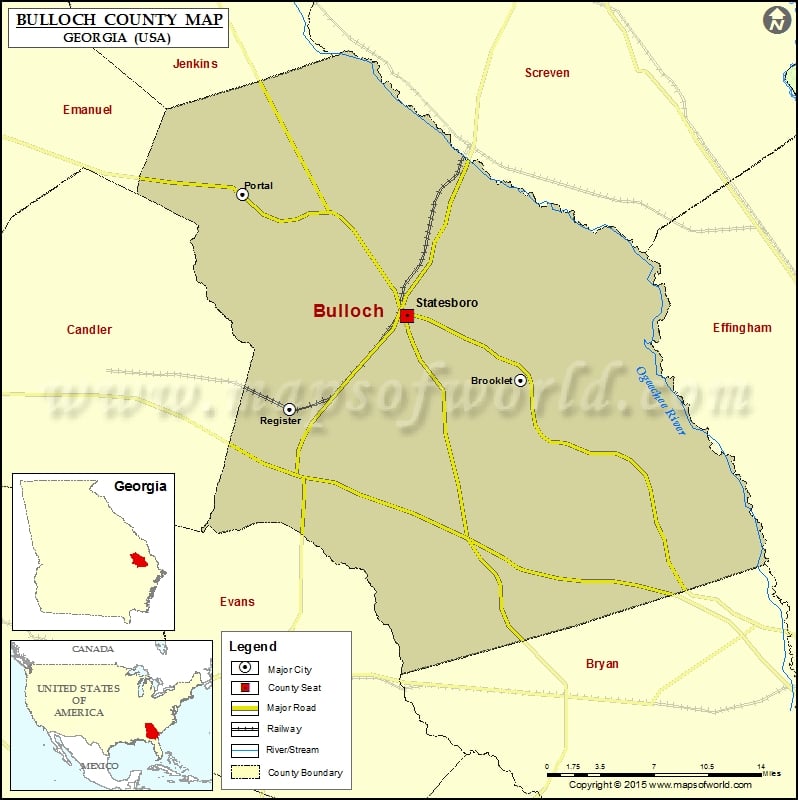
Check this Georgia County Map to locate all the state’s counties in Georgia Map.
Airports in Bulloch County
| Airport Name |
|---|
| Crawford Hendrix Farm Airport |
| East Georgia Regional Medical Center Heliport |
| Southern Agricultural Aviation Airport |
| Statesboro Bulloch County Airport |
Cities in Bulloch County
| City | Population | Latitude | Longitude |
|---|---|---|---|
| Brooklet city | 1395 | 32.389688 | -81.666796 |
| Portal town | 638 | 32.538818 | -81.929497 |
| Register town | 175 | 32.365937 | -81.884803 |
| Statesboro city | 28422 | 32.440483 | -81.774747 |
Golf Courses in Bulloch County
| Name of Golf Course | Latitude | Longitude |
|---|---|---|
| Eagle Creek Golf Course-Statesboro | 32.335017 | -81.813183 |
| Forest Heights Country Club-Statesboro | 32.432518 | -81.820256 |
| Southern Links Golf Club-Statesboro | 32.362176 | -81.781654 |
 Wall Maps