South Carolina Topographic Map
South Carolina is in the Southeastern region of USA. Map shows the trends in the elevation of the state which also affects it's climate.
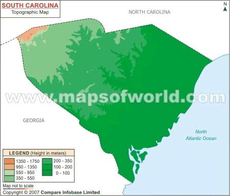
Map of South Carolina showing topographies on original scale.

South Carolina is in the Southeastern region of USA. Map shows the trends in the elevation of the state which also affects it's climate.
Map of South Carolina showing topographies on original scale.
This website uses cookies to improve your experience. We'll assume you're ok with this, but you can opt-out if you wish. Read More