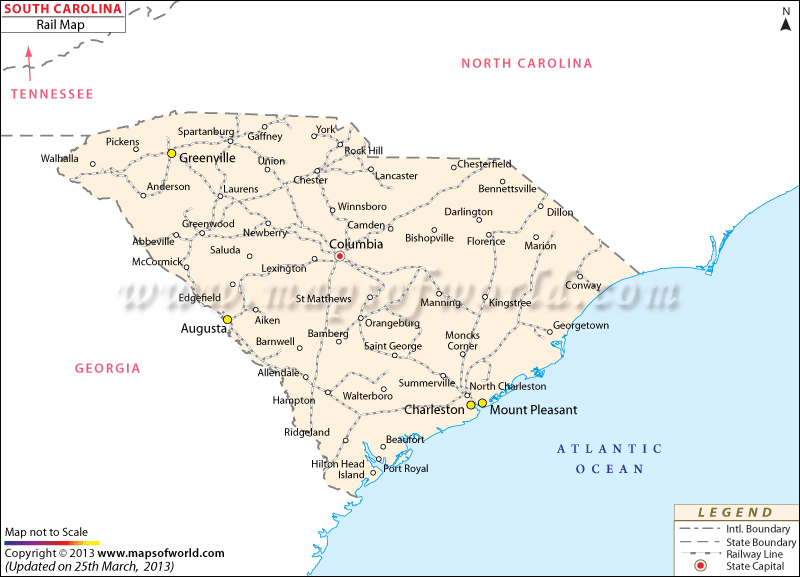
The South Carolina Railway Map prominently indicates the several railroads of the state. The first railroad of South Carolina was 136 miles long. Built during the year of 1833, the railroad connected Charleston and Hamburg. The foremost steam locomotive of America was known by the name of the Best Friend of Charleston that catered to the local inhabitants of the state.
The South Carolina State Map points out the important railway stations of the state. At present, Norfolk Southern and CSX Transportation provide passenger railway services to the native population of South Carolina. During the year of 2000, the State of South Carolina had 2,507 miles of railway tracks that was used by ten local trains, two Class I passenger rails, two terminal railroads and two switching trains.
The Amtrak Passenger Railway connects the northern part of the state with the southern part of South Carolina. Branchville of South Carolina is the oldest railway station of the world. The route started operating on the 25th of December, 1833 and connected the main cities of Branchville, Aiken, Charleston, Blackville, and Hamburg. The South Carolina Railroad Museum was founded in the year of 1973. The museums houses several passenger cars and steam locomotives of the ancient times.

 Wall Maps