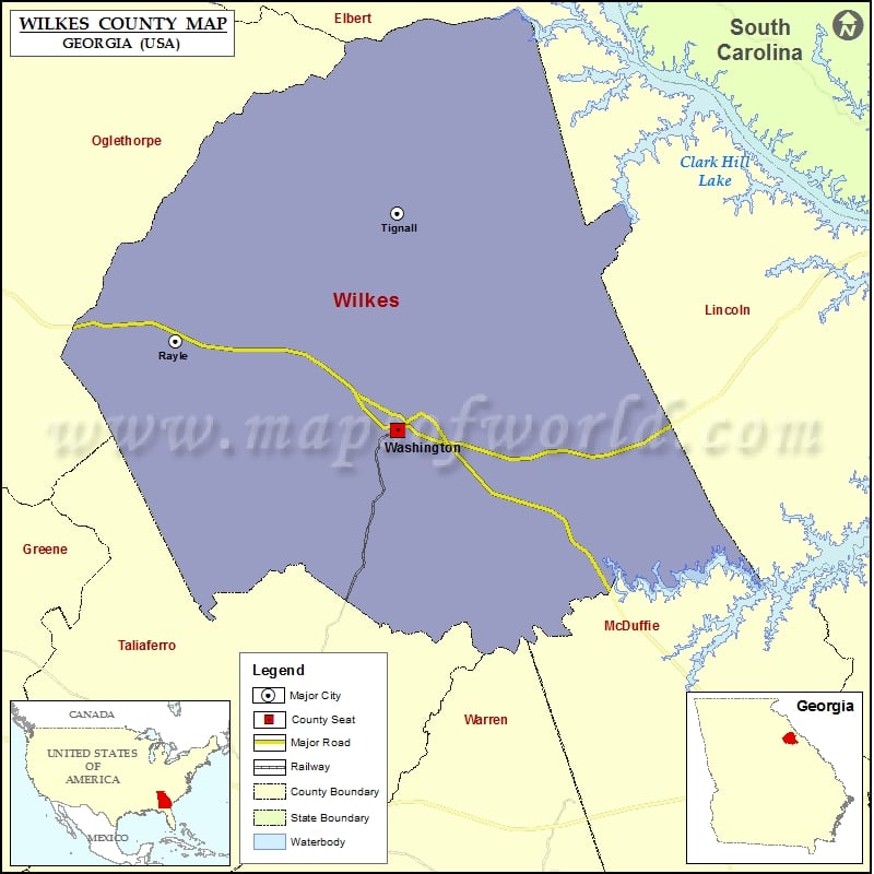
Check this Georgia County Map to locate all the state’s counties in Georgia Map. Mountain Peaks in Wilkes County Mountain Peak/Hill Elevation [Meter] War Hill 158 More Maps of Wilkes County Wilkes County…
Check this Georgia County Map to locate all the state’s counties in Georgia Map.
Mountain Peaks in Wilkes County
| Mountain Peak/Hill |
Elevation [Meter] |
| War Hill |
158 |
More Maps of Wilkes County
Airports in Wilkes County
| Airport Name |
| Great Oaks Airport |
| Linscott Heliport |
| Washington Wilkes County Airport |
Cities in Wilkes County
| City |
Population |
Latitude |
Longitude |
| Rayle town |
199 |
33.790242 |
-82.903143 |
| Tignall town |
546 |
33.867364 |
-82.741982 |
| Washington City |
4134 |
33.735536 |
-82.742578 |
Golf Courses in Wilkes County
| Name of Golf Course |
Latitude |
Longitude |
| Washington Wilkes Country Club-Washington |
33.723284 |
-82.741346 |

 Wall Maps