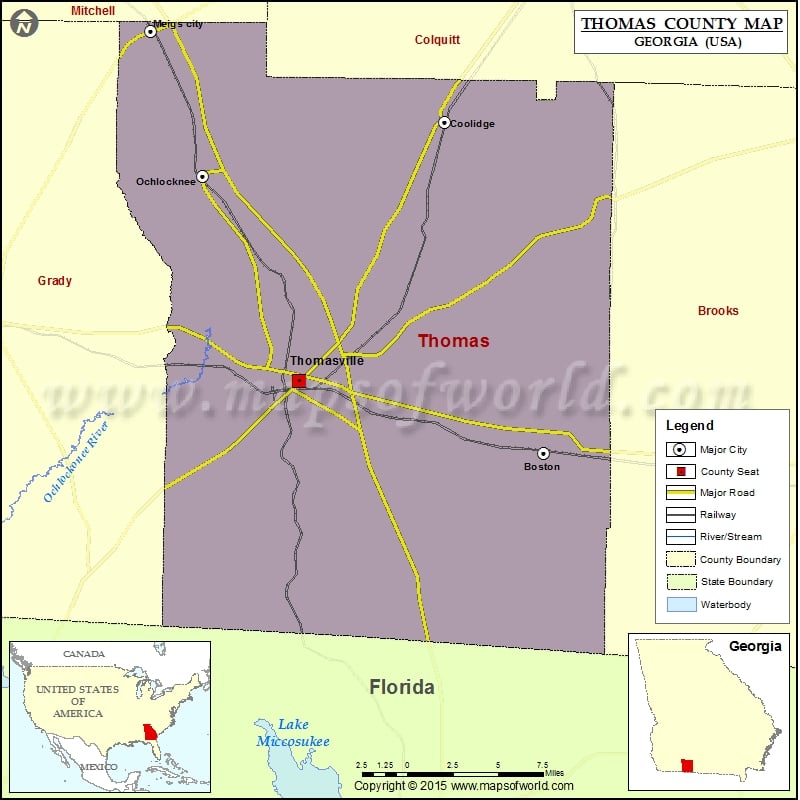
Thomas County Map, Georgia
Check this Georgia County Map to locate all the state’s counties in Georgia Map. Airports in Thomas County Airport Name Thomasville Regional Airport More Maps of Thomas County Thomas County Map, Nebraska Cities…
Check this Georgia County Map to locate all the state’s counties in Georgia Map .
Airports in Thomas County
Airport Name
Thomasville Regional Airport
More Maps of Thomas County
Cities in Thomas County
City
Population
Latitude
Longitude
Boston city
1315
30.792003
-83.789922
Coolidge city
525
31.011326
-83.86612
Meigs city
1035
31.071378
-84.092199
Ochlocknee town
676
30.975164
-84.051763
Thomasville city
18413
30.839514
-83.978319
Golf Courses in Thomas County
Name of Golf Course
Latitude
Longitude
Country Oaks Golf Course-Thomasville
30.877962
-83.890167
Glen Arven Country Club-Thomasville
30.8197
-83.957477

 Wall Maps