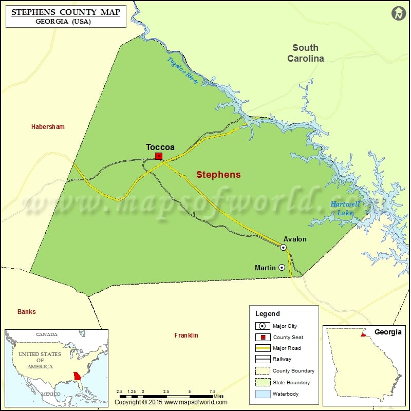
Check this Georgia County Map to locate all the state’s counties in Georgia Map. Mountain Peaks in Stephens County Mountain Peak/Hill Elevation [Meter] Allen Mountain 402 Black Mountain 460 Brady Hill 298 Currahee…
Check this Georgia County Map to locate all the state’s counties in Georgia Map.
Mountain Peaks in Stephens County
| Mountain Peak/Hill |
Elevation [Meter] |
| Allen Mountain |
402 |
| Black Mountain |
460 |
| Brady Hill |
298 |
| Currahee Mountain |
524 |
| Davis Mountain |
411 |
| Farmer Mountain |
384 |
| Goat Mountain |
283 |
| Lee Mountain |
377 |
| Rock Quarry Mountain |
368 |
| Trembly Bald |
352 |
| Wells Mountain |
354 |
| Yellowback Mountain |
396 |
More Maps of Stephens County
Airports in Stephens County
| Airport Name |
| Toccoa Rg Letourneau Field |
Cities in Stephens County
| City |
Population |
Latitude |
Longitude |
| Avalon town |
213 |
34.502685 |
-83.1967 |
| Martin town |
381 |
34.485576 |
-83.198255 |
| Toccoa city |
8491 |
34.58072 |
-83.325808 |
Golf Courses in Stephens County
| Name of Golf Course |
Latitude |
Longitude |
| Currahee Golf Club-Toccoa |
34.594726 |
-83.202003 |

 Wall Maps