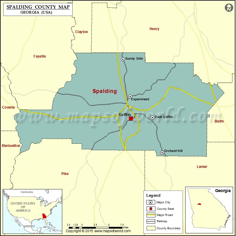
Spalding County Map, Georgia
Check this Georgia County Map to locate all the state’s counties in Georgia Map. Mountain Peaks in Spalding County Mountain Peak/Hill Elevation [Meter] Barrow Hill 302 Airports in Spalding County Airport Name Beaverbrook…
Check this Georgia County Map to locate all the state’s counties in Georgia Map .
Mountain Peaks in Spalding County
Mountain Peak/Hill
Elevation [Meter]
Barrow Hill
302
Airports in Spalding County
Airport Name
Beaverbrook Aerodrome
Brook Bridge Aerodrome
Cedar Ridge Airport
Griffin Spalding County Airport
Pecan Patch Airstrip
Pinebrook Estates Airport
River Bend Airport
Cities in Spalding County
City
Population
Latitude
Longitude
East Griffin
1451
33.243909
-84.231744
Experiment
2894
33.278998
-84.275997
Griffin city
23643
33.241909
-84.274654
Orchard Hill town
209
33.185099
-84.212252
Sunny Side city
134
33.34205
-84.29111
Golf Courses in Spalding County
Name of Golf Course
Latitude
Longitude
Cabin Creek Golf Club-Griffin
33.275533
-84.234907
Canongate Golf At Sun City Peachtree-Griffin
33.308042
-84.235811
Griffin Country Club-Griffin
33.254292
-84.314859
Griffin Golf Course-Griffin
33.23767
-84.27103

 Wall Maps