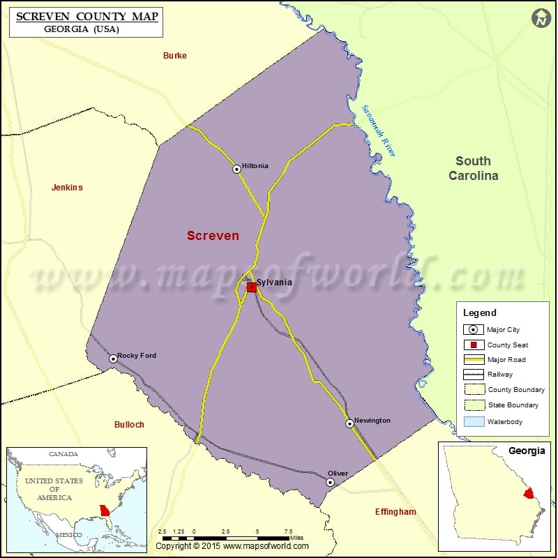
Georgia Counties Screven County Map, Georgia Vishul MalikOctober 30, 202201.4K views Check this Georgia County Map to locate all the state’s counties in Georgia Map. Airports in Screven County Airport Name Landings East Sylvania Airport Millhaven Airport Pegasus Ranch Airport Plantation Airpark Screven Ems… Buy Printed MapBuy Digital MapWall MapsWall Maps Check this Georgia County Map to locate all the state’s counties in Georgia Map. Airports in Screven County Airport Name Landings East Sylvania Airport Millhaven Airport Pegasus Ranch Airport Plantation Airpark Screven Ems Heliport Wade Plantation Airport Cities in Screven County City Population Latitude Longitude Hiltonia town 342 32.883358 -81.661267 Newington town 274 32.588795 -81.506321 Oliver city 239 32.521487 -81.533072 Rocky Ford town 144 32.663666 -81.829739 Sylvania city 2956 32.74669 -81.640827 Golf Courses in Screven County Name of Golf Course Latitude Longitude Briar Creek Country Club-Sylvania 32.79262 -81.649739

 Wall Maps