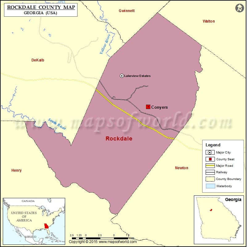
Rockdale County Map, Georgia
Check this Georgia County Map to locate all the state’s counties in Georgia Map. Mountain Peaks in Rockdale County Mountain Peak/Hill Elevation [Meter] Griffin Mountain 251 Panola Mountain 288 Airports in Rockdale County…
Check this Georgia County Map to locate all the state’s counties in Georgia Map .
Mountain Peaks in Rockdale County
Mountain Peak/Hill
Elevation [Meter]
Griffin Mountain
251
Panola Mountain
288
Airports in Rockdale County
Airport Name
Lola Landing Airport
National Ems Headquarters Heliport
Rockdale Hospital Heliport
Skelton Airport
Cities in Rockdale County
City
Population
Latitude
Longitude
Conyers city
15195
33.664543
-83.996713
Lakeview Estates
2695
33.704941
-84.036808
Golf Courses in Rockdale County
Name of Golf Course
Latitude
Longitude
Cherokee Run Golf Club-Conyers
33.674657
-83.944312
Highland Golf Club-Conyers
33.630076
-83.972213
Honey Creek Country Club-Conyers
33.586977
-84.025682
Little Mountain Golf Course-Ellenwood
33.641658
-84.18348

 Wall Maps