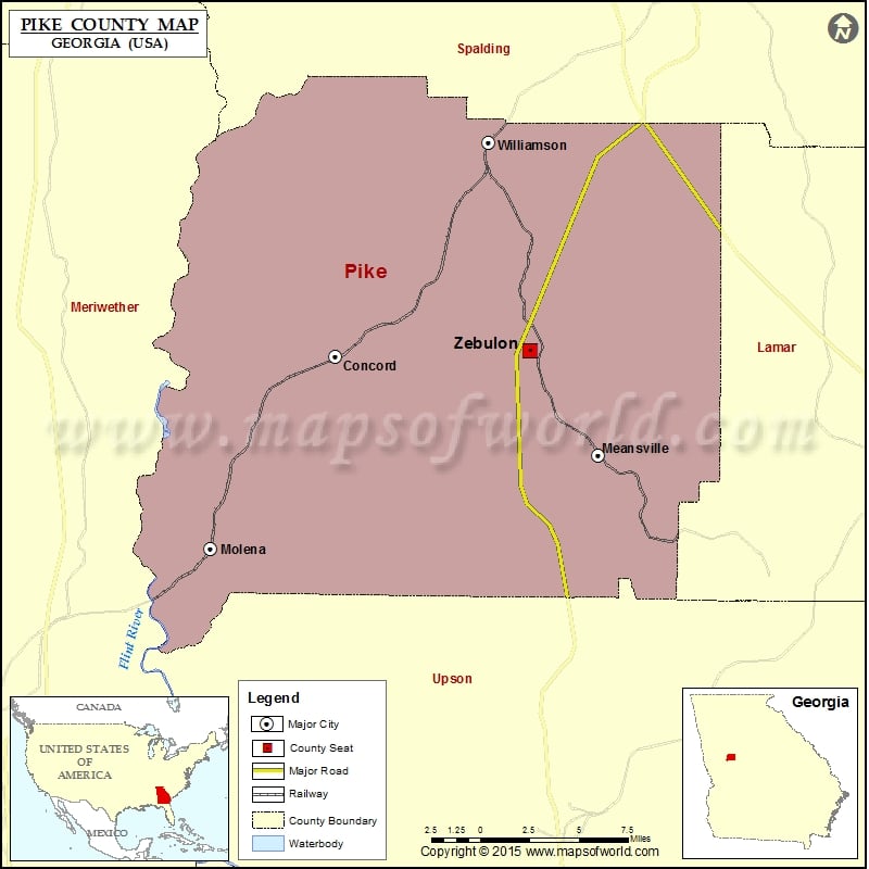
Check this Georgia County Map to locate all the state’s counties in Georgia Map. Mountain Peaks in Pike County Mountain Peak/Hill Elevation [Meter] Buzzard Mountain 336 Indian Grave Mountain 379 More Maps of…
Check this Georgia County Map to locate all the state’s counties in Georgia Map .
Mountain Peaks in Pike County
Mountain Peak/Hill
Elevation [Meter]
Buzzard Mountain
336
Indian Grave Mountain
379
More Maps of Pike County
Airports in Pike County
Airport Name
3-M’s Airport
B & L Strip
Brown Field
Clark Airport
Eagles Landing Airport
Flying ‘H’ Ranch Airport
Flying D Airport
Glover Airport
Meadowlark Airport
Mobile Airport
Peach State Airport
Ridgeview Farm Airport
S & S Landing Strip
Shade Tree Airport
Thacker Field
Windrift Aerodrome
Windrift Aerodrome
Cities in Pike County
City
Population
Latitude
Longitude
Concord city
375
33.091767
-84.438403
Hilltop
262
33.106339
-84.438302
Meansville city
182
33.05089
-84.308365
Molena city
368
33.01187
-84.500139
Williamson city
352
33.181086
-84.362615
Zebulon city
1174
33.094428
-84.34238
Golf Courses in Pike County
Name of Golf Course
Latitude
Longitude
Cedars Golf Club-Zebulon
33.10173
-84.359489
Pines Golf Course-Williamson
33.114655
-84.397539

 Wall Maps