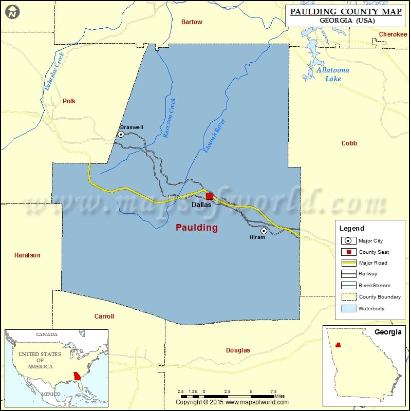
Paulding County Map, Georgia
Check this Georgia County Map to locate all the state’s counties in Georgia Map. Mountain Peaks in Paulding County Mountain Peak/Hill Elevation [Meter] Brushy Mountain 374 Elsberry Mountain 393 Mulberry Rock 380 Pine…
Check this Georgia County Map to locate all the state’s counties in Georgia Map .
Mountain Peaks in Paulding County
Mountain Peak/Hill
Elevation [Meter]
Brushy Mountain
374
Elsberry Mountain
393
Mulberry Rock
380
Pine Mountain
322
Ray Mountain
380
Vinson Mountain
403
Airports in Paulding County
Airport Name
Caffrey Heliport
Paulding County Regional Airport
Paulding Memorial Hospital Heliport
Pinewood Airport
Cities in Paulding County
City
Population
Latitude
Longitude
Braswell town
379
33.983623
-84.959049
Dallas city
11544
33.915257
-84.842569
Hiram city
3546
33.877262
-84.770991
Golf Courses in Paulding County
Name of Golf Course
Latitude
Longitude
Bentwater Golf Club-Acworth
34.052924
-84.761682
Creekside Golf & Country Club-Hiram
33.836777
-84.81893
The Frog At the Georgian-Villa Rica
33.800985
-84.926493

 Wall Maps