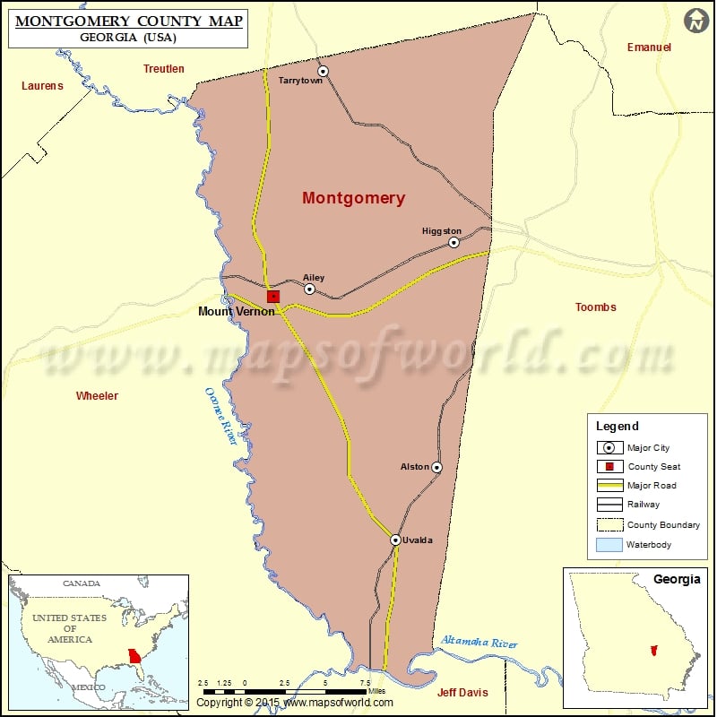
Check this Georgia County Map to locate all the state’s counties in Georgia Map.
Cities in Montgomery County
| City | Population | Latitude | Longitude |
|---|---|---|---|
| Ailey city | 432 | 32.188217 | -82.569002 |
| Alston town | 159 | 32.08097 | -82.478925 |
| Higgston town | 323 | 32.21637 | -82.466985 |
| Mount Vernon city | 2451 | 32.183113 | -82.595232 |
| Tarrytown town | 87 | 32.318716 | -82.559552 |
| Uvalda city | 598 | 32.037088 | -82.508018 |
More Maps of Montgomery County

 Wall Maps