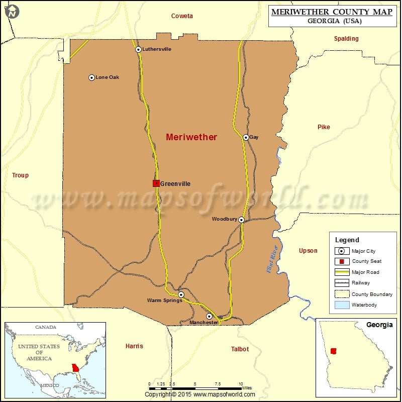
Meriwether County Map, Georgia
Check this Georgia County Map to locate all the state’s counties in Georgia Map. Mountain Peaks in Meriwether County Mountain Peak/Hill Elevation [Meter] Betts Mountain 392 Buzzard Roost 291 Dixon Mountain 284 Huckleberry…
Check this Georgia County Map to locate all the state’s counties in Georgia Map .
Mountain Peaks in Meriwether County
Mountain Peak/Hill
Elevation [Meter]
Betts Mountain
392
Buzzard Roost
291
Dixon Mountain
284
Huckleberry Pinnacle
355
Singers Hill
300
Airports in Meriwether County
Airport Name
Fagundes Field
Flying N Estates Airport
Lone Star Steel Company Airport
Cities in Meriwether County
City
Population
Latitude
Longitude
Gay town
89
33.093658
-84.575471
Greenville city
876
33.032236
-84.716224
Lone Oak town
92
33.172352
-84.817331
Luthersville city
874
33.209583
-84.744265
Manchester city
4230
32.856554
-84.633014
Warm Springs city
425
32.885219
-84.676608
Woodbury city
961
32.984751
-84.582119
Golf Courses in Meriwether County
Name of Golf Course
Latitude
Longitude
Beaver Lake Golf & Country Club-Gay
33.110019
-84.561856
Pebblebrook Golf Club-Woodbury
32.899219
-84.581025
Roosevelt Memorial Golf Course-Warm Springs
32.890491
-84.679896

 Wall Maps