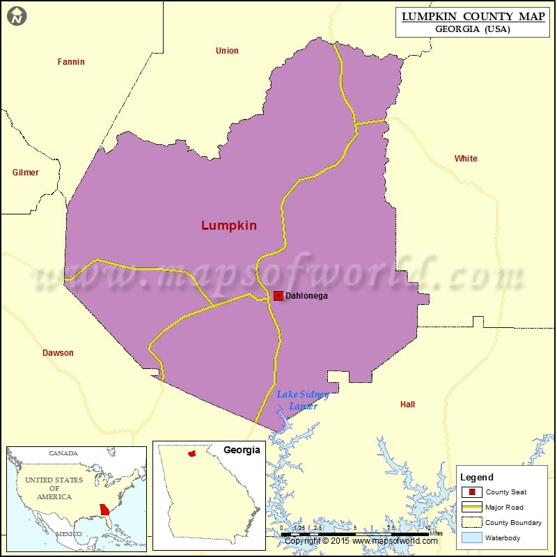
Lumpkin County Map, Georgia
Check this Georgia County Map to locate all the state’s counties in Georgia Map. Mountain Peaks in Lumpkin County Mountain Peak/Hill Elevation [Meter] Baker Mountain 1082 Big Cedar Mountain 1129 Black Mountain 1138…
Check this Georgia County Map to locate all the state’s counties in Georgia Map .
Mountain Peaks in Lumpkin County
Mountain Peak/Hill
Elevation [Meter]
Baker Mountain
1082
Big Cedar Mountain
1129
Black Mountain
1138
Brushy Knob
987
Buck Knob
975
Bull Mountain
716
Burnett Field Mountain
1059
Buzzard Mountain
819
Campbell Mountain
625
Cedar Mountain
1059
Chestnut Knob
702
Collins Mountain
649
Columbia Mountain
978
Conner Mountain
859
Crow Mountain
771
Crown Mountain
524
Falls Mountain
477
Gaddis Mountain
1081
Glass Mine Top
965
Gooch Mountain
1011
Granny Top
1014
Hogback Mountain
891
Hogpen Mountain
1040
Jacobs Knob
1074
Jake Mountain
574
John Jones Mountain
494
Justus Mountain
984
Little Buzzard Mountain
786
Little Mountain
556
Little Sal Mountain
683
Long Mountain
862
Miller Top
906
Mincle Mountain
570
Pigeon Roost
822
Porter Springs Cedar Mountain
895
Ramrock Mountain
973
Rock Spring Top
771
Rocky Mountain
1078
Sassafras Mountain
549
Sheep Wallow Mountain
586
Three Sisters Mountain
645
Turkey Hill
451
Turkeypen Mountain
1079
Whim Hill
461
Whissenhunt Mountain
637
Airports in Lumpkin County
Airport Name
Lumpkin County Wimpys Airport
Mosby Army Heliport
Cities in Lumpkin County
City
Population
Latitude
Longitude
Dahlonega city
5242
34.53028
-83.979556
Golf Courses in Lumpkin County
Name of Golf Course
Latitude
Longitude
Achasta Golf Club-Dahlonega
34.498297
-83.964247

 Wall Maps