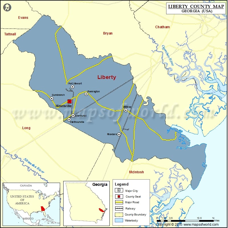
Liberty County Map, Georgia
Check this Georgia County Map to locate all the state’s counties in Georgia Map. Airports in Liberty County Airport Name Berg Park Aerodrome Harvest Lake Seaplane Base Liberty County Airport Liberty Memorial Hospital…
Check this Georgia County Map to locate all the state’s counties in Georgia Map .
Airports in Liberty County
Airport Name
Berg Park Aerodrome
Harvest Lake Seaplane Base
Liberty County Airport
Liberty Memorial Hospital Heliport
Wright Aaf (Fort Stewart)/Midcoast Regional Airport
More Maps of Liberty County
Cities in Liberty County
City
Population
Latitude
Longitude
Allenhurst city
695
31.784044
-81.607716
Flemington city
743
31.850561
-81.56045
Fort Stewart
4924
31.872203
-81.610014
Gumbranch city
264
31.836768
-81.683913
Hinesville city
33437
31.826908
-81.62154
Midway city
2121
31.800406
-81.419133
Riceboro city
809
31.726431
-81.443783
Walthourville city
4111
31.771636
-81.621746
Golf Courses in Liberty County
Name of Golf Course
Latitude
Longitude
Cherokee Rose Country Club-Hinesville
31.800761
-81.599213
Taylor’s Creek Golf Course-Fort Stewart
31.878157
-81.62302

 Wall Maps