
 Wall Maps
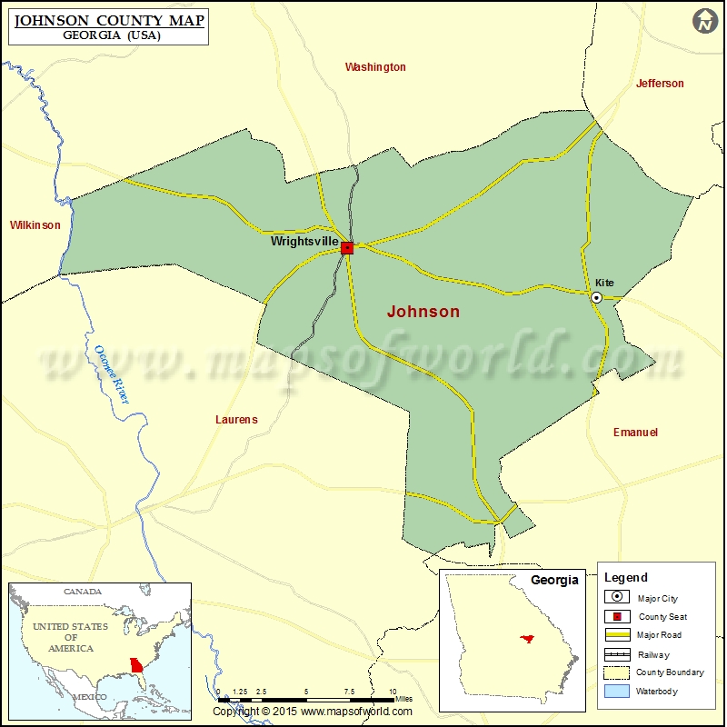
Check this Georgia County Map to locate all the state’s counties in Georgia Map.
Airports in Johnson County
| Airport Name |
|---|
| The Farm Airport |
More Maps of Johnson County
Cities in Johnson County
| City | Population | Latitude | Longitude |
|---|---|---|---|
| Kite City | 241 | 32.69218 | -82.513519 |
| Wrightsville city | 2195 | 32.726507 | -82.719714 |