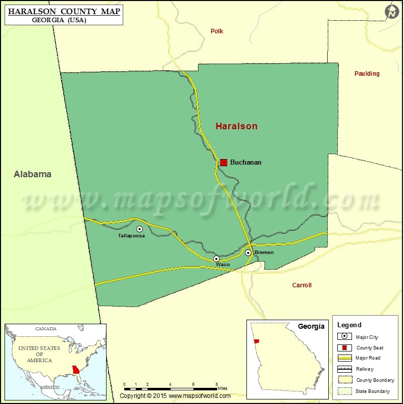
Haralson County Map, Georgia
Check this Georgia County Map to locate all the state’s counties in Georgia Map. Mountain Peaks in Haralson County Mountain Peak/Hill Elevation [Meter] Black Jack Mountain 448 Reeds Mountain 476 Tally Mountain 464…
Check this Georgia County Map to locate all the state’s counties in Georgia Map .
Mountain Peaks in Haralson County
Mountain Peak/Hill
Elevation [Meter]
Black Jack Mountain
448
Reeds Mountain
476
Tally Mountain
464
West Hill
387
Airports in Haralson County
Airport Name
Ayresouth Airport
Treadwell Airport
Cities in Haralson County
City
Population
Latitude
Longitude
Bremen city
6227
33.708919
-85.149391
Buchanan city
1104
33.8031
-85.180273
Tallapoosa city
3170
33.733465
-85.285835
Waco city
516
33.702584
-85.189217
Golf Courses in Haralson County
Name of Golf Course
Latitude
Longitude
Tally Mountain Golf Course-Tallapoosa
33.729529
-85.270747
The Lion Golf Club-Bremen
33.698348
-85.167318

 Wall Maps