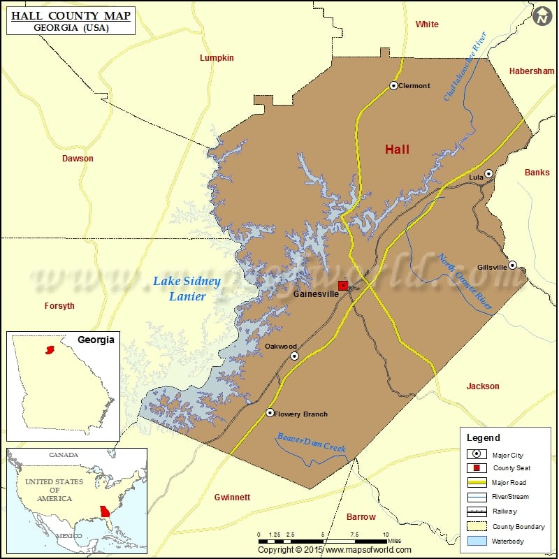
Check this Georgia County Map to locate all the state’s counties in Georgia Map.
Mountain Peaks in Hall County
| Mountain Peak/Hill | Elevation [Meter] |
|---|---|
| Banks Mountain | 374 |
| Buckhorn Mountain | 440 |
| Hog Mountain | 511 |
| Kennedy Mountain | 363 |
| Price Mountain | 366 |
More Maps of Hall County
Airports in Hall County
| Airport Name |
|---|
| B Tree Farms Airport |
| Fly-N-S Ranch Airport |
| Lanier Park Hospital Heliport |
| Latham Creek Heliport |
| Lee Gilmer Memorial Airport |
Cities in Hall County
| City | Population | Latitude | Longitude |
|---|---|---|---|
| Clermont town | 875 | 34.478139 | -83.772967 |
| Flowery Branch city | 5679 | 34.170621 | -83.913134 |
| Gainesville city | 33804 | 34.289728 | -83.829996 |
| Gillsville city | 235 | 34.309255 | -83.638123 |
| Lula city | 2758 | 34.395268 | -83.665046 |
| Oakwood city | 3970 | 34.223748 | -83.884906 |
Golf Courses in Hall County
| Name of Golf Course | Latitude | Longitude |
|---|---|---|
| Chattahoochee Golf Course-Gainesville | 34.355153 | -83.862054 |
| Chicopee Woods Golf Course-Gainesville | 34.243235 | -83.849237 |
| Emerald Pointe Golf Club-Buford | 34.176261 | -84.0191 |
| PineIsle Resort & Golf Club-Buford | 34.178938 | -84.030991 |
| Reunion Golf Club-Hoschton | 34.112848 | -83.861733 |
| Royal Lakes Country Club-Flowery Branch | 34.199091 | -83.853872 |

 Wall Maps