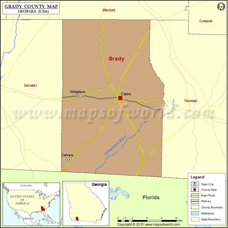
Grady County Map, Georgia
Check this Georgia County Map to locate all the state’s counties in Georgia Map. Mountain Peaks in Grady County Mountain Peak/Hill Elevation [Meter] Curry Hill 98 Airports in Grady County Airport Name Cairo…
Check this Georgia County Map to locate all the state’s counties in Georgia Map .
Mountain Peaks in Grady County
Mountain Peak/Hill
Elevation [Meter]
Curry Hill
98
Airports in Grady County
Airport Name
Cairo Grady County Airport
Cities in Grady County
City
Population
Latitude
Longitude
Cairo city
9607
30.878687
-84.204841
Calvary
161
30.722436
-84.354133
Whigham city
471
30.884521
-84.324656
Golf Courses in Grady County
Name of Golf Course
Latitude
Longitude
Cairo Country Club-Cairo
30.90279
-84.227919
Golden Leaf Golf and Country Club-Cairo
30.712873
-84.339071
Valley Pines Golf Club-Cairo
30.875361
-84.165151

 Wall Maps