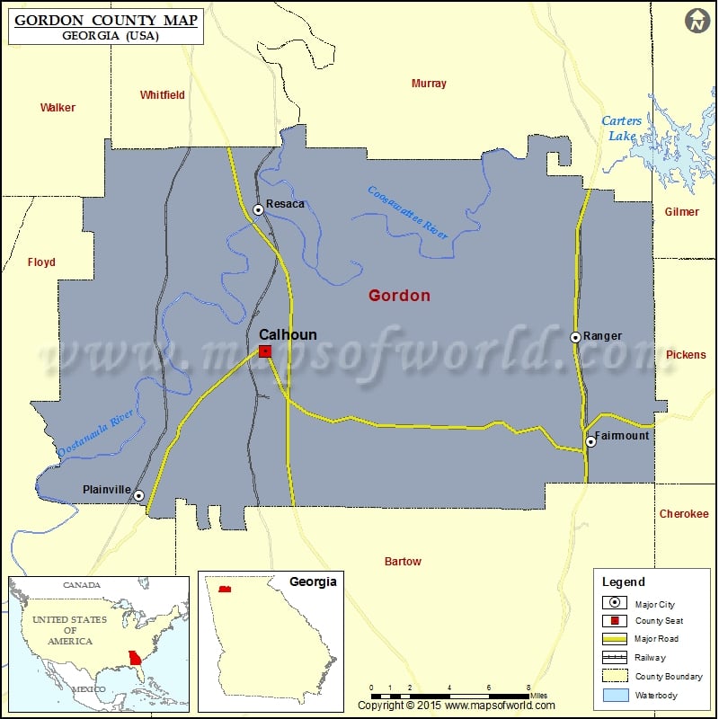
Gordon County Map, Georgia
Check this Georgia County Map to locate all the state’s counties in Georgia Map. Mountain Peaks in Gordon County Mountain Peak/Hill Elevation [Meter] Baugh Mountain 347 Brogdon Hill 277 Carter Mountain 321 Ramseur…
Check this Georgia County Map to locate all the state’s counties in Georgia Map .
Mountain Peaks in Gordon County
Mountain Peak/Hill
Elevation [Meter]
Baugh Mountain
347
Brogdon Hill
277
Carter Mountain
321
Ramseur Mountain
329
Airports in Gordon County
Airport Name
Curtis Parkway North Heliport
Gordon Hospital Heliport
Mercer Airfield
Riverside Airport
Tom B. David Field
Cities in Gordon County
City
Population
Latitude
Longitude
Calhoun city
15650
34.492588
-84.93942
Fairmount city
720
34.437993
-84.699797
Plainville city
313
34.405265
-85.031489
Ranger town
131
34.501261
-84.711067
Resaca town
544
34.578733
-84.94413
Golf Courses in Gordon County
Name of Golf Course
Latitude
Longitude
Calhoun Elks Golf Club-Calhoun
34.543937
-84.914696
Fields Ferry Golf Club-Calhoun
34.552559
-84.844272

 Wall Maps