Glynn County Map, Georgia
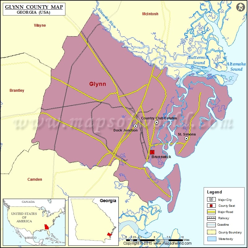
Check this Georgia County Map to locate all the state’s counties in Georgia Map. Mountain Peaks in Glynn County Mountain Peak/Hill Elevation [Meter] Buzzards Roost 1 Liz Hill 6 Pennant Hill 6 Airports…
Check this Georgia County Map to locate all the state’s counties in Georgia Map .
Mountain Peaks in Glynn County
Mountain Peak/Hill
Elevation [Meter]
Buzzards Roost
1
Liz Hill
6
Pennant Hill
6
Airports in Glynn County
Airport Name
Brunswick Golden Isles Airport
Jekyll Island Airport
Malcolm Mc Kinnon Airport
Se Georgia Health System-Brunswick Heliport
City
Population
Latitude
Longitude
Brunswick city
15383
31.144996
-81.473951
Country Club Estates
8545
31.211343
-81.462147
Dock Junction
7721
31.203111
-81.515614
St. Simons
12743
31.17555
-81.385737
Golf Courses in Glynn County
Name of Golf Course
Latitude
Longitude
Brunswick Country Club-Brunswick
31.200447
-81.468126
Coastal Pines Golf Club-Brunswick
31.278202
-81.518368
Frederica Golf Club-Saint Simons Island
31.254419
-81.371426
Jekyll Island Golf Resort-Jekyll Island
31.066737
-81.40509
Oak Grove Island Club-Brunswick
31.231398
-81.586378
Ocean Forest Golf Course-Sea Island
31.205285
-81.323469
Retreat Golf Course At Saint Simons Island-Saint Simons Island
31.144267
-81.401374
Sea Island Golf Club-Saint Simons Island
31.140307
-81.406317
Sea Palms Golf & Tennis Resort-Saint Simons Island
31.206304
-81.375955
The King & Prince Golf Course-Saint Simons Island
31.281169
-81.349209
National Parks in Glynn County
Name of Park
Latitude
Longitude
Fort Frederica NM
31.222362
-81.395394

 Wall Maps