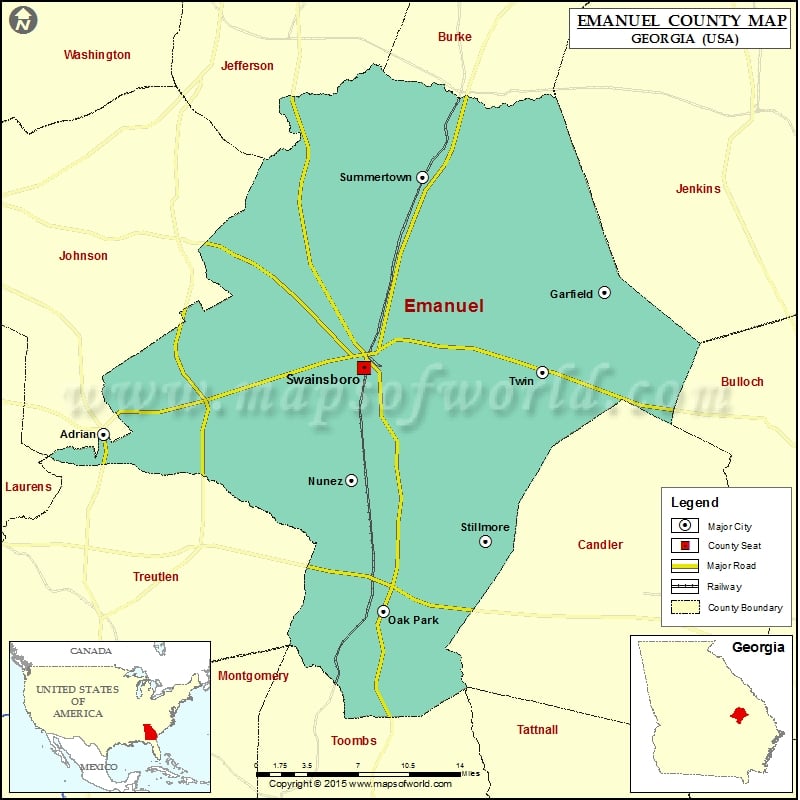
Emanuel County Map, Georgia
Check this Georgia County Map to locate all the state’s counties in Georgia Map. Airports in Emanuel County Airport Name Daniels Airport Darla’s Airport Emanuel County Airport Emanuel County Hospital Heliport Holt Airpark…
Check this Georgia County Map to locate all the state’s counties in Georgia Map .
Airports in Emanuel County
Airport Name
Daniels Airport
Darla’s Airport
Emanuel County Airport
Emanuel County Hospital Heliport
Holt Airpark
Paces South Farms Airport
Cities in Emanuel County
City
Population
Latitude
Longitude
Adrian city
664
32.530591
-82.592026
Canoochee
71
32.678631
-82.178548
Garfield city
201
32.64954
-82.096228
Norristown
59
32.506492
-82.498177
Nunez city
147
32.491959
-82.34666
Oak Park town
484
32.382145
-82.315267
Stillmore city
532
32.44103
-82.21447
Summertown city
160
32.745794
-82.276369
Swainsboro city
7277
32.586604
-82.334485
Twin City
1742
32.582932
-82.157516
Golf Courses in Emanuel County
Name of Golf Course
Latitude
Longitude
Swainsboro Golf & Country Club-Swainsboro
32.6006
-82.348679

 Wall Maps