 Wall Maps
Check this Georgia County Map to locate all the state’s counties in Georgia Map.
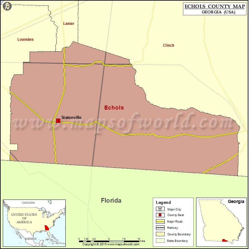
Cities in Echols County
| City | Population | Latitude | Longitude |
|---|---|---|---|
| Statenville | 1040 | 30.706502 | -83.019027 |

Check this Georgia County Map to locate all the state’s counties in Georgia Map. Cities in Echols County City Population Latitude Longitude Statenville 1040 30.706502 -83.019027
Check this Georgia County Map to locate all the state’s counties in Georgia Map.
| City | Population | Latitude | Longitude |
|---|---|---|---|
| Statenville | 1040 | 30.706502 | -83.019027 |
This website uses cookies to improve your experience. We'll assume you're ok with this, but you can opt-out if you wish. Read More