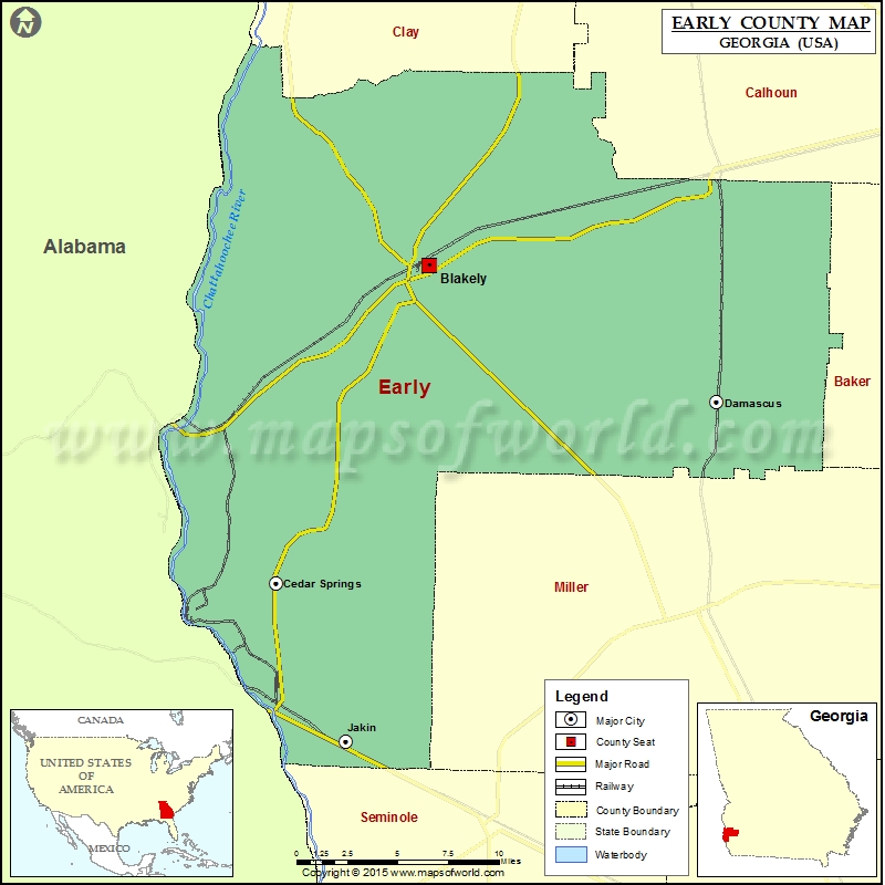
Georgia Counties Early County Map, Georgia Vishul MalikOctober 28, 202201.1K views Check this Georgia County Map to locate all the state’s counties in Georgia Map. Mountain Peaks in Early County Mountain Peak/Hill Elevation [Meter] River Hill 92 Airports in Early County Airport Name Andrews… Buy Printed MapBuy Digital MapWall MapsWall Maps Check this Georgia County Map to locate all the state’s counties in Georgia Map. Mountain Peaks in Early County Mountain Peak/Hill Elevation [Meter] River Hill 92 Airports in Early County Airport Name Andrews Airport Early County Airport Sawyer Farm Airport Cities in Early County City Population Latitude Longitude Blakely city 5068 31.382662 -84.922742 Cedar Springs 74 31.187306 -85.03244 Damascus city 254 31.298857 -84.716985 Jakin city 155 31.090055 -84.982261 Golf Courses in Early County Name of Golf Course Latitude Longitude Town & Country Club-Blakely 31.361396 -84.936555

 Wall Maps